

Hellingen en hoogteverschil
Stijgingen: 109m
Dalingen: 128m
Laagste punt: 4m
Hoogste punt: 38m
Répartition des pentes
1km descente légère (-5% à -1%)
46km plat (-1% à 2%)
1km montée (2% à 5%)
Wegtypes
44km (90%) de voies cyclables
5km (10%) de routes partagées
Wegdektype
6km (11%) de surface lisse
43km (89%) de surface rugueuse
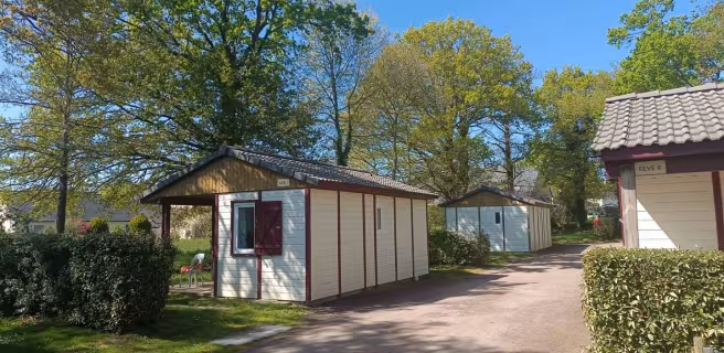
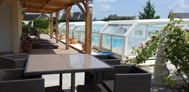
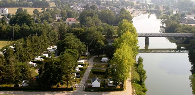
Vind uw verblijf op deze etappe







Treinen en transport op de route
TER line Rennes – Redon – Numerous stations or stops close to the route: Rennes, Saint-Jacques-de-la-Lande, Ker-Lann, Bruz, Laillé, Guichen/Bourg-des-Comptes, Saint-Senoux/Pléchâtel, Guipry-Messac.
Rennes train station (TGV and TER) – TGV connections to and from all over France, and TER connections to the main towns in Brittany and the Greater West (Caen, Nantes, Pontorson, Châteaubriant, etc.).