57 km
3 h 49 min
Ik overtref mijzelf
Val Cenis
Valloire
Bergen

Hellingen en hoogteverschil

Stijgingen: 1194m
Dalingen: 1183m
Laagste punt: 716m
Hoogste punt: 1601m
Pentes mesurées sur 579 m

Répartition des pentes

5km descente forte (< -5%)
21km descente légère (-5% à -1%)
14km plat (-1% à 2%)
8km montée (2% à 5%)
6km montée difficile (5% à 8%)
4km montée très difficile (> 8%)

Wegtypes

57km (100%) de routes partagées

Wegdektype

57km (100%) de surface lisse

Vind uw verblijf op deze etappe

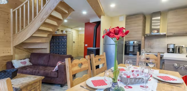
Le Mont Cenis

Le Mont Cenis

Lodgings and furnished rentals
Accueil Vélo
Val-Cenis
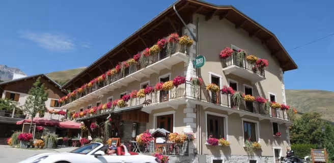
Le Blanchon

Le Blanchon

Lodgings and furnished rentals
Accueil Vélo
Saint-Julien-Mont-Denis
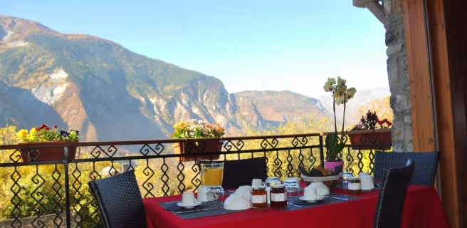
Le Lagopède

Le Lagopède

Lodgings and furnished rentals
Accueil Vélo
Saint-Julien-Mont-Denis
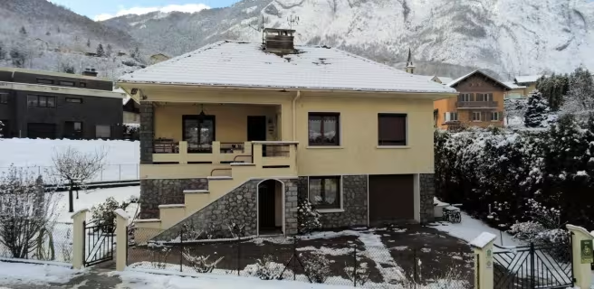
LA PARRACHEE

LA PARRACHEE

Lodgings and furnished rentals
Accueil Vélo
Val-Cenis
Le Choucas

Le Choucas

Lodgings and furnished rentals
Accueil Vélo
Saint-Julien-Mont-Denis
DTH 73

DTH Gite 73

Lodgings and furnished rentals
Accueil Vélo
Saint-Michel-de-Maurienne

Treinen en transport op de route

Dichtstbijzijnde SNCF-stations

Modane
gare
33 m de l'étape
Route
Saint-Michel - Valloire
gare
59 m de l'étape
Route

Beoordelingen over Val Cenis / Valloire

Details