











Hellingen en hoogteverschil
Stijgingen: 236m
Dalingen: 213m
Laagste punt: 272m
Hoogste punt: 396m
Verdeling van hellingen
0.51km sterke afdaling (< -5%)
5km lichte afdaling (-5% tot -1%)
49km vlak (-1% tot 2%)
3km klim (2% tot 5%)
Wegtypes
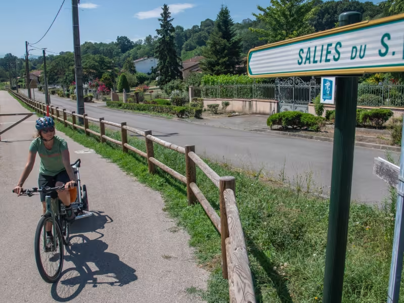
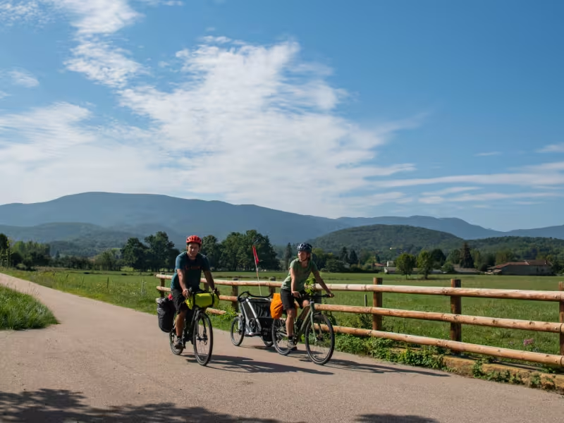
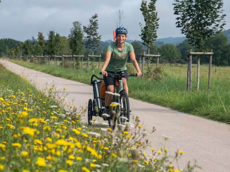
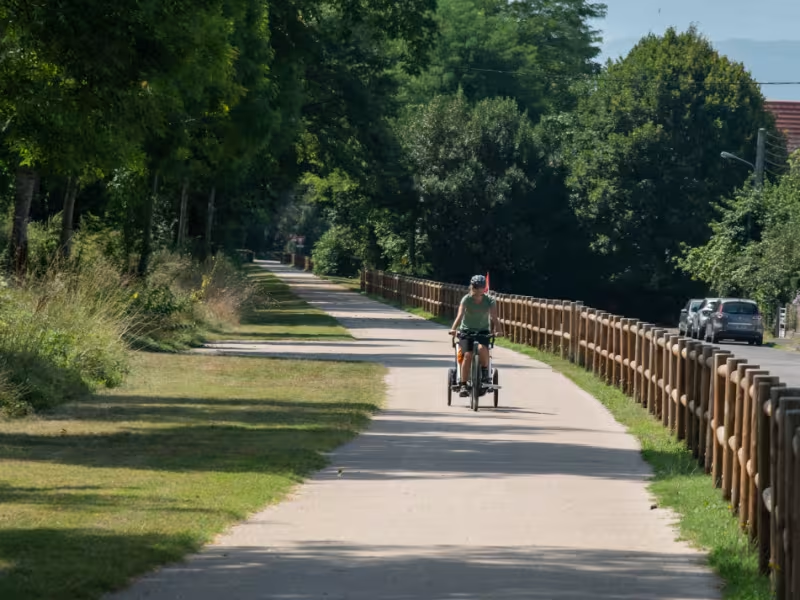
28km (49%) fietspaden
30km (51%) gedeelde wegen
- Fietspad
- Paden voorbehouden aan fietsers en voetgangers (groene routes, fietspaden, jaagpaden), gescheiden van auto's voor maximale veiligheid.
- Gedeelde weg
- Kleine wegen met weinig verkeer (tenzij anders vermeld in de etappedetails). Gedeeld met auto's (voorzichtigheid geboden).
- Niet opgegeven
- Gegevens niet beschikbaar of worden nog beoordeeld. Raadpleeg de uitgebreide etappebeschrijving.
- Tijdelijk
- Gedeelte over de weg of een fietspad in afwachting van betere voorzieningen (zie etappedetails).
Wegdektype
11km (18%) glad wegdek
0.74km (1%) ruw wegdek
47km (80%) onbekend wegdek
- Glad
- Asfalt, bitumen of glad beton. Optimaal comfort.
- Ruw
- Steenslag, verdichte halfverharding of versleten asfalt. Minder comfortabel, trillingen mogelijk.
- Natuurlijk
- Aarde, gras, wortels of stenen. Onder 5%: korte, weinig hinderlijke stukken. Bij een hoog percentage: route alleen geschikt voor mountainbikes of gravelbikes.
- Niet opgegeven
- Gegevens niet beschikbaar of worden nog beoordeeld. Raadpleeg de uitgebreide etappebeschrijving.
Niet te missen op deze route

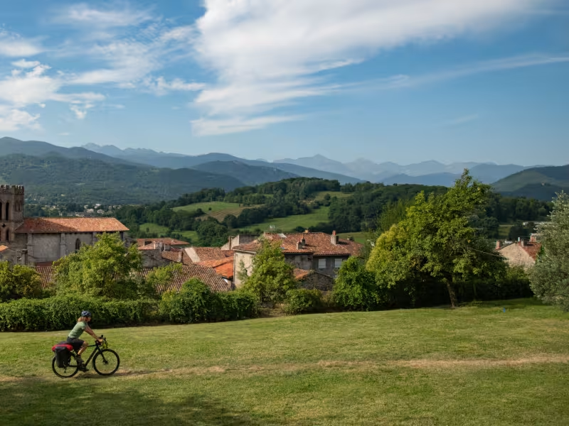
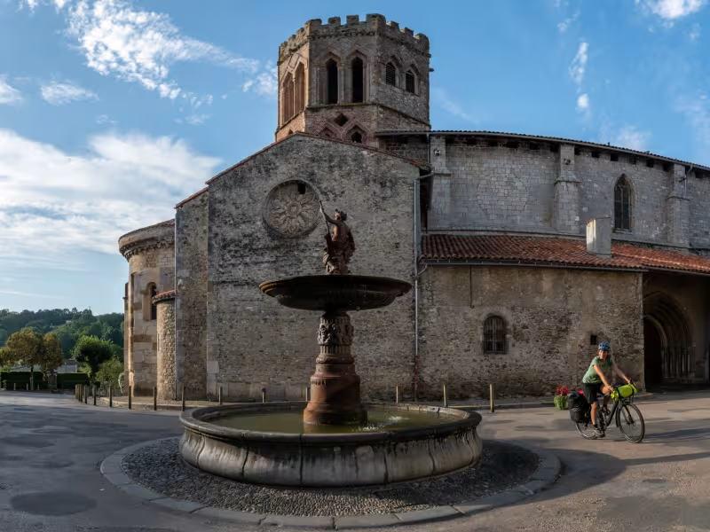
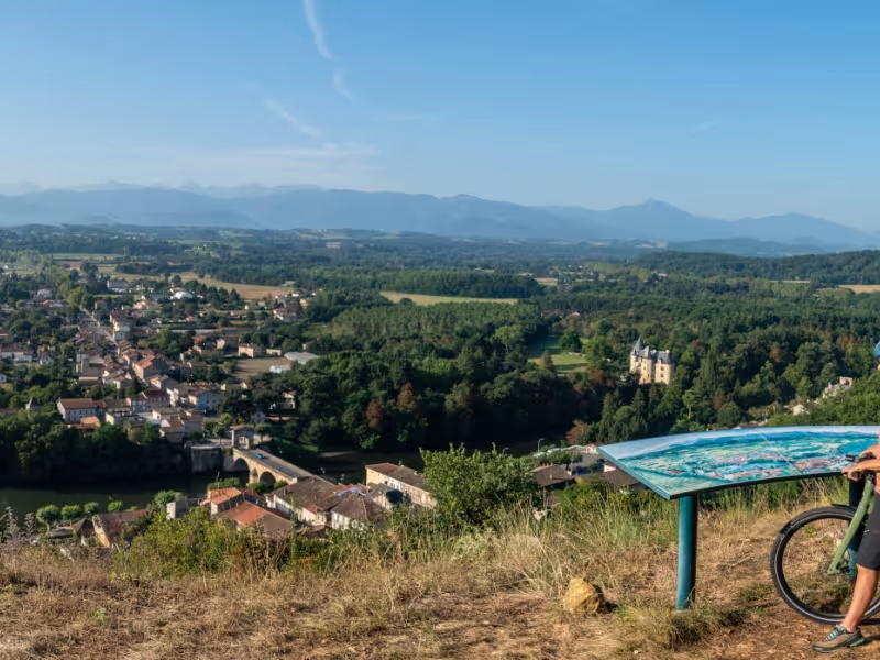
Cathédrale de Saint-Lizier
An ancient Gallo-Roman town, Saint-Lizier boasts two thousand years of history hovering over its flower-lined streets facing the Pyrenees. A tour of the village and its monuments takes in the upper part of the Roman ramparts, as well as the Notre-Dame-de-la-Sède cathedral, whose Renaissance paintings in the vaulting have earned it the nickname of ‘Ariège's Sistine Chapel’.
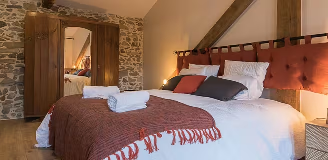
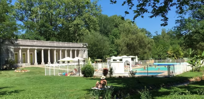
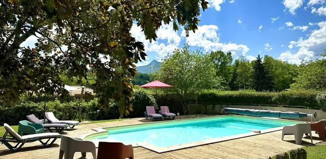
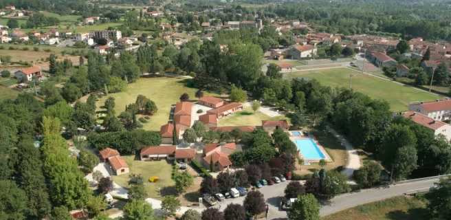
Vind uw verblijf op deze etappe





Treinen en transport op de route
- Gare SNCF de Saint-Gaudens, trains Intercités et TER Occitanie (transport gratuit des vélos) sur l’axe Toulouse-Tarbes, directement sur le tracé de la Vélosud.
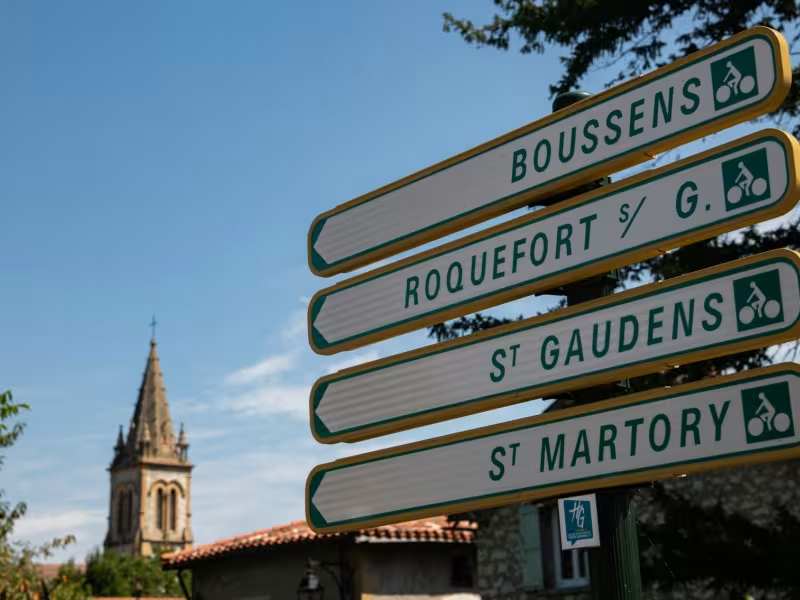
- Gare SNCF de Boussens (trains TER Occitanie), sur l’axe Toulouse-Tarbes, pour rejoindre la V81 à Roquefort-sur-Garonne (km 29).
- Réseau bus régionaux LiO, liaison entre Boussens et Saint-Girons par la ligne 452.
https://www.lio-occitanie.fr/horaires-et-plans/